Last summer, Google collaborated with Penn to collect ground-level images of campus using a specially designed vehicle called the Street View Trike. A Google representative rolled around Penn on the vehicle capturing photos of the landscape with several cameras.
Street View allows users to browse through an immersive, street-level site, with the option of rotating the images 360 degrees and panning up and down 290 degrees. To create the panoramic effect, Google essentially stitches together the pictures captured by their cameras, matching the images to a specific location using GPS devices. Faces of people in the images, as well as license plates captured on “Street View” are blurred to protect individuals’ privacy.
Google launched “Street View” in 2007. In the beginning, the images were collected by a van with a big camera on its roof. That evolved into cars driving through public roads in cities and towns and, most recently, the Street Trike.
At Penn, Google used the trike to get pictures of the University’s best known “off street” sites such as Locust and Hamilton walks and the BioPond. Google Maps launched Penn’s “Street View” on Jan. 21. While some of the images are not fully functional yet, you can start your virtual stroll through campus by clicking here.
In Senegal, the ambitious Dakar Greenbelt project seeks to create an extensive network of ecological infrastructure in and around the city to sustainably address environmental concerns and enhance urban life. With support from David Gouverneur and Ellen Neises, Ph.D. candidate Rob Levinthal in the Weitzman School of Design led two courses that included a field trip to Dakar, that culminated in students presenting their visions for parts of the Greenbelt.
From a desert to an oasis: Penn engages in ambitious greening effort in the Sahel
Students from the Weitzman School of Design journeyed to Senegal to help with a massive ecological and infrastructural greening effort as part of their coursework. The Dakar Greenbelt aims to combat desertification and promote sustainable urban growth.
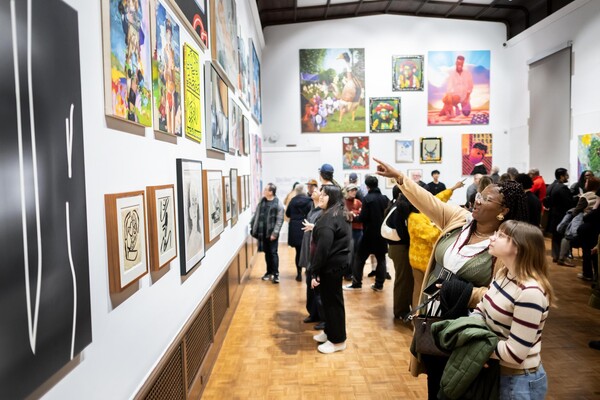
As part of an undergraduate course, Penn faculty and students curated an Arthur Ross Gallery exhibition of works from the Neumann family’s extensive collection of modern and contemporary art.
The University’s nexus for technology transfer supports researchers in their innovative efforts, from CAR T to mRNA advancements that have dramatically reshaped the world.